Taking the middle between the Wildcat Loop and the High Meadow/PG&E Trail, this hike is a 5 to 6 mile climb to the ridge between the park's two valleys and takes about two hours round-trip from the parking lot.
Start from the bathrooms at the lower parking lot (a good landmark for a meeting place) and head past the farm. Just after the barn at the far end of the farm, steer left up Wildcat Canyon, not Rogue Valley. Very soon, the trail forks. I generally go straight ahead, through the no-horses gate.
 |
I usually hike up the canyon since the cool air feels good as I put out some effort climbing. The trail crosses several bridges over Wildcat Creek before getting to the next fork where the Wildcat Loop takes off to the right. |
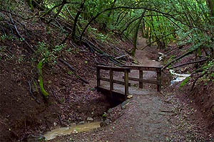
Just before the trail splits to the Wildcat Loop, the trail exits the no-horses zone and a short but steep connecter to the PG&E trail comes down from the left. Someone has positioned a couple of logs here if you want to sit down. This image shows a railed bridge and in the upper part of the image is one of the short steep bits of the trail. Sometimes lots of people are on this section, but after the split for the Wildcat Loop, fewer people take the higher trail.
| There are more bridges as the trail winds up the canyon. | 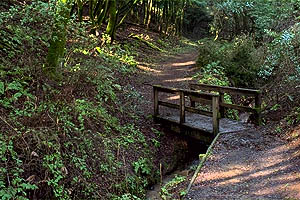 |
| The canyon narrows and a couple of times the trail veers away from the creek, but each time it comes back until here, where it finally makes a hairpin turn to the right and heads up to the ridge away from the canyon. | 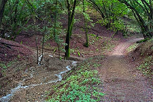 |
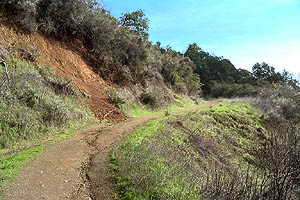 |
Boom, the cool air of the canyon is suddenly replaced by warm to hot sunlight on the ridge. |
Out of the woods, there are finally some vista's. Depending on the smog and the fog, the view can be poor to inspiring, especially when you get to look back down the valley you just hiked up.
| Hikes never look as steep from here... | 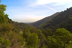 |
The ridge is a dramatic change from the cool, darker canyon. The trail continues at a moderate incline to the junction with the Upper High Meadow trail.
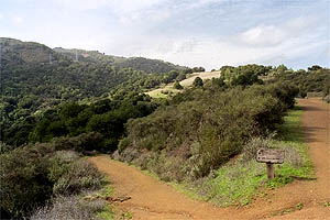
Looking back down the trail you just came up, which is the trail to the left. The right-hand trail goes up through the High Meadow and joins the PG&E Trail at the power towers. Just to the right of this view is an interesting window on Mountain View and Palo Alto.
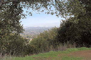
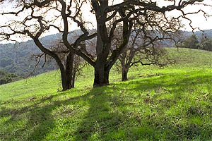
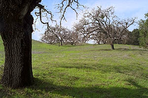
Soon enough there is the junction with the top of the Rogue Valley Trail. The trail seems to split-- take the narrower one to the right. The wide one is the fire road and is very steep but short. The trail diagonally crosses the fire road again, goes down the other side of the ridge for a bit and comes back to the fire road and a main junction. There are three choices for the trip down, but before you do, the view from the top of the nearby hill allows you a chance to park your butt on some railing. Going to the left after you arrive at this junction takes you down part of the Wildcat Loop into Rogue Valley and back to the Farm. To the right takes you down the other side of Wildcat Loop and lets you hike down the cool canyon with all the little bridges you came up. Going straight heads through High Meadow, one of my favorite places in this beautiful park. It is a beautiful stand of old gnarly oaks in open grass. In the evening I often see deer in this meadow.
 |
 |
Return to the Rancho San Antonio page.